Using the Palette
Use the Kanzi Maps Palette to quickly add typical features to your map.
To add content to a map using the Palette:
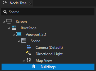
If your project contains multiple Map View nodes, select the Map View node where you want to add map content.
If your project contains only one Map View node, the Palette automatically uses that Map View.
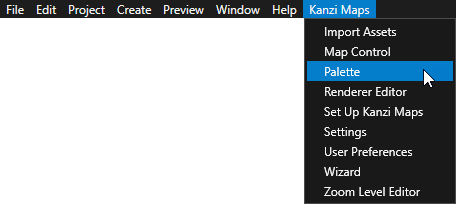
In the Kanzi Studio main menu, select Kanzi Maps > Palette.
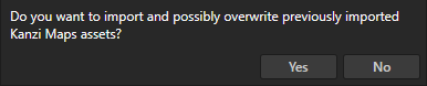
If Kanzi Studio asks whether you want to import assets, click Yes.
The Palette needs the Kanzi Maps assets to render map features.
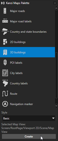
In the Kanzi Maps Palette:
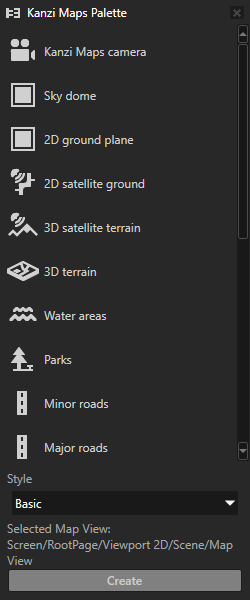
Select the map feature that you want to add:
Map feature
Node type
Description
Kanzi Maps camera
Chase Node
Creates a Kanzi Maps camera that you can use with a 2D, 3D, or terrain map.
Sky dome
Plane
Renders the sky and the ground.
2D ground plane
Plane
Renders a 2D ground plane.
2D satellite ground
Prefab Tile Renderer
Renders satellite imagery on 2D ground.
3D satellite terrain
Terrain 3D Renderer
Renders satellite imagery on 3D terrain.
3D terrain
Terrain 3D Renderer
Renders 3D terrain.
Water areas
Area Renderer
Renders water areas.
Parks
Area Renderer
Renders park areas.
Minor roads
Stroke Renderer
Renders minor roads.
Major Roads
Stroke Renderer
Renders major roads.
Major Road labels
Prefab Feature Renderer
Renders the names of major roads.
Country and state boundaries
Stroke Renderer
Renders the borders between countries and states.
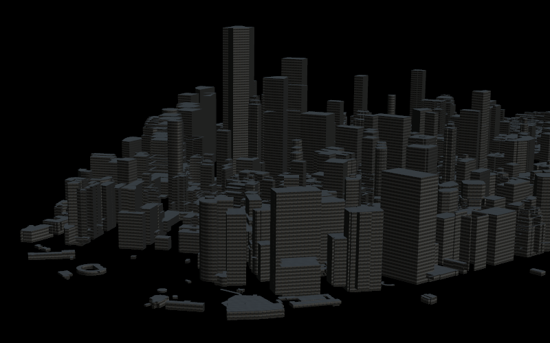
2D buildings
Area Renderer
Renders 2D buildings.
3D buildings
Structure Renderer
Renders 3D buildings.
POI labels
Prefab Feature Renderer
Renders the names of points of interest.
City labels
Prefab Feature Renderer
Renders the names of cities.
Country labels
Prefab Feature Renderer
Renders the names of countries.
Route
Route Renderer
Renders a route.
Navigation marker
Coordinate Renderer
Renders a navigation marker.
Navigation UI
Adds to the map controls for navigation simulation.
(Optional) If you want to render the content with textured materials, set the Style to Textured.
Click Create.
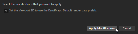
In the Confirm modifications dialog, select those items that you want to let Kanzi Studio modify in your project, and click Apply Modifications.
If you want to set up the rendering manually, click Cancel.
Kanzi Studio creates in the Map View node a node which renders the map feature that you selected.